What is Tableau?
Tableau is a software application for interactive data analysis and visualization. It runs on Windows and Mac computers, does not require any coding, and has both desktop and online components.

Data visualization and analysis, mapping, and other tech tools
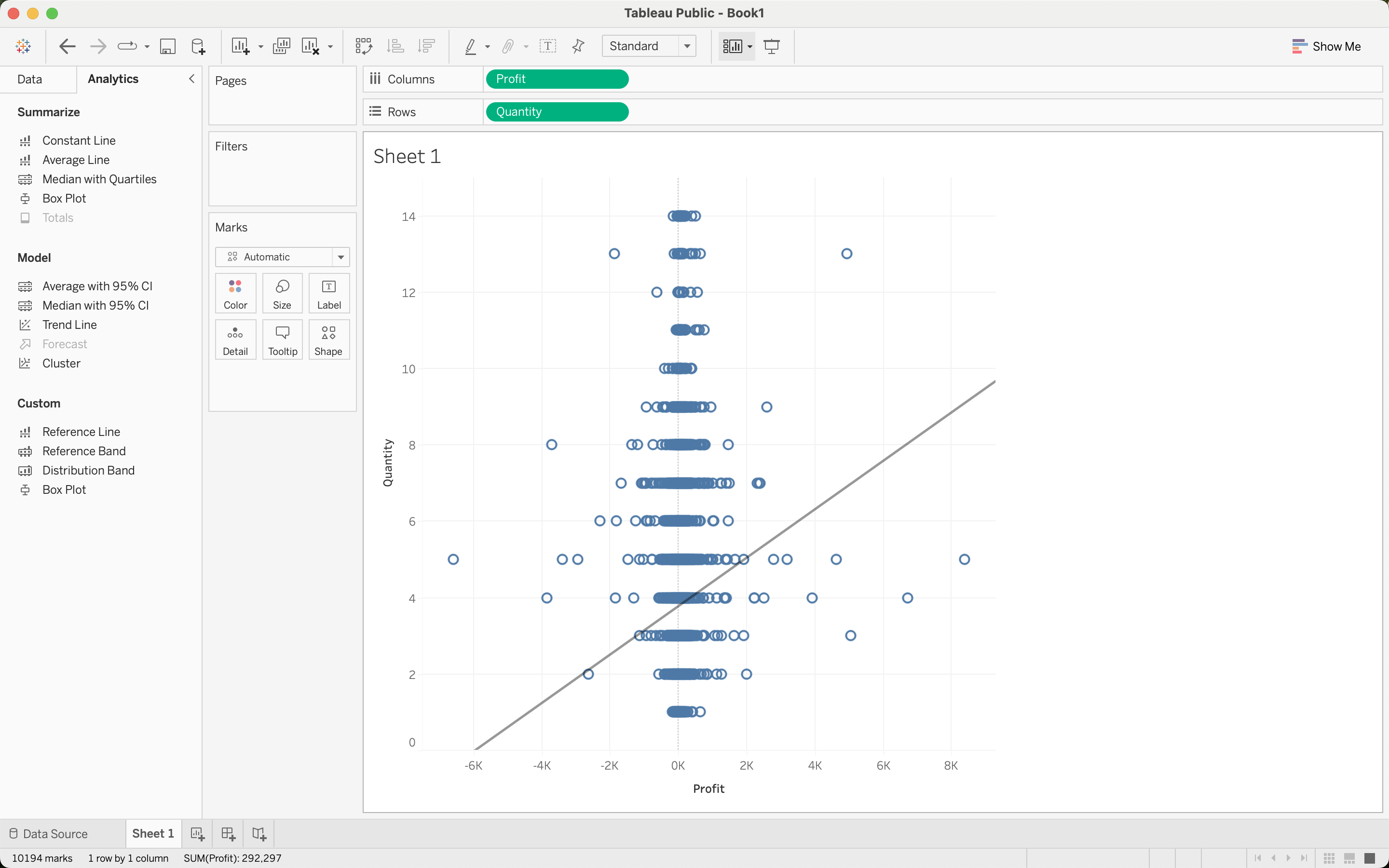
Tableau is a software application for interactive data analysis and visualization. It runs on Windows and Mac computers, does not require any coding, and has both desktop and online components.
This post offers some guidelines on the design and printing of academic conference posters for Holy Cross students, staff, and faculty. While it focuses on the use of Microsoft PowerPoint to create posters, it is not a general treatise on how to use PowerPoint. For that, see the PowerPoint Help Center. Here we offer a few tips on how to tweak PowerPoint for optimal poster printing. The examples are shown as they appear on the Mac, but users running PowerPoint under Windows should find similar functionality. We also briefly discuss the use of LibreOffice Impress and Google Slides in poster design.
Multivariate analysis is that branch of statistics concerned with examination of several variables simultaneously. This post demonstrates the practical application of several multivariate techniques, using the R programming language and computing environment. Topics include ecological and geographic distance matrices, cluster analysis, the Mantel test, multidimensional scaling, principle components analysis, and discriminant function analysis.
The main body of this post is hosted on GitHub Pages. To read the full post, click this link: Multivariate Analysis with R.
R (r-project.org) is a programming language and software platform for statistical computing and graphics, widely used in academia and industry (see Introduction to R). RStudio is an integrated development environment for R. RStudio makes R easier to use, and it also enables the creation and rendering of plain-text documents that contain embedded R code. With RStudio, you can encapsulate the code and data for your analysis within the text of your paper, fostering research transparency and replicability of results. An increasing number of scholarly journals are requiring that authors submit such replication materials as a condition of publication (see, for example, The AJPS Replication Policy: Innovations and Revisions), and are providing guidelines for data archiving in support of reproducible research (e.g., Reproducible research and Biostatistics and The Role of Data Repositories in Reproducible Research).
Continue reading “RStudio as a Research and Writing Platform”
Google Docs (google.com/docs/about) has evolved to the point where it is a viable alternative to desktop word processors (see 10 Reasons to Love Google Docs and 6 Tips for Writing Your Thesis in Google Docs). It works completely in the cloud, so that you can access your documents from anywhere, on any device, even without an Internet connection. Documents are easily shared and editable by multiple people simultaneously. In addition, an increasing number of add-on tools make Google Docs an even more powerful solution for writing research papers. This post discusses some of the tools and add-ons that will help you write your research paper using Google Docs.
A GIS (Geographic Information System) is a computer application designed to capture, store, manipulate, analyze, manage, and present all types of geographical data, in addition to composing and printing maps. It combines a traditional database with a visual display of map features, such as points (e.g. houses), lines (e.g. streams and rivers), and polygons (enclosed areas such as lakes, habitat types, and town boundaries). A GIS can also incorporate image data, such as remote sensing imagery of the earth taken from satellites or aircraft, scanned paper maps, georeferenced drawings, etc. External data residing in spreadsheet, database, or plain-text files can also be mapped in a GIS as long as the data include geographic coordinates or can be joined with data that do. In addition, GIS software can access map layers from server-based databases and Internet Web Map Services (WMS).
Continue reading “Introduction to Geographic Information Systems Using QGIS”